What is The International Terrestrial Reference Frame (ITRF)?
The International Terrestrial Reference Frame (ITRF) is a globally recognized geodetic reference frame used to precisely measure positions on or near the Earth’s surface. It provides a standardized set of 3D coordinates for reference stations worldwide, accounting for the Earth’s shape, rotation, and dynamic processes such as tectonic plate movement.
The ITRF is realized and maintained by the International Earth Rotation and Reference Systems Service (IERS), with new versions (e.g., ITRF2014, ITRF2020) released every few years to incorporate improved measurements, more stations, and advanced error modeling. Each realization includes station coordinates and velocities at a specific epoch, allowing users to account for temporal changes due to crustal motion.
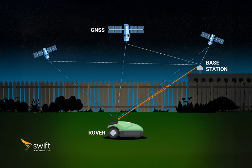
ITRF serves as the foundational reference for GNSS (Global Navigation Satellite System) positioning, enabling accurate and consistent location data across the globe. In practice, GNSS corrections and RTK solutions are often delivered in ITRF or transformed into local reference frames (like NAD83 or ETRS89) to match regional requirements. Using the correct reference frame and epoch is critical for achieving centimeter-level accuracy in high-precision applications such as surveying, GIS mapping, and autonomous navigation
For a more detailed overview of reference frames, datums, and epochs, read our article What Are Reference Frames, Epochs and Coordinate Transformations In RTK?
Related Content
GNSS Basics

Devon Sharp

Marwan Ramadan

Marwan Ramadan

Devon Sharp

Devon Sharp

Marwan Ramadan

Devon Sharp


