


When traditional base station RTK isn’t an option, Swift Navigation’s cloud-based RTK correction service keeps drone operations moving with centimeter precision.
Helios Visions is a Chicago-based drone services provider specializing in advanced aerial data collection, 3D reality capture, and high-accuracy geospatial mapping for the Architecture, Engineering, Construction (AEC), and environmental industries.
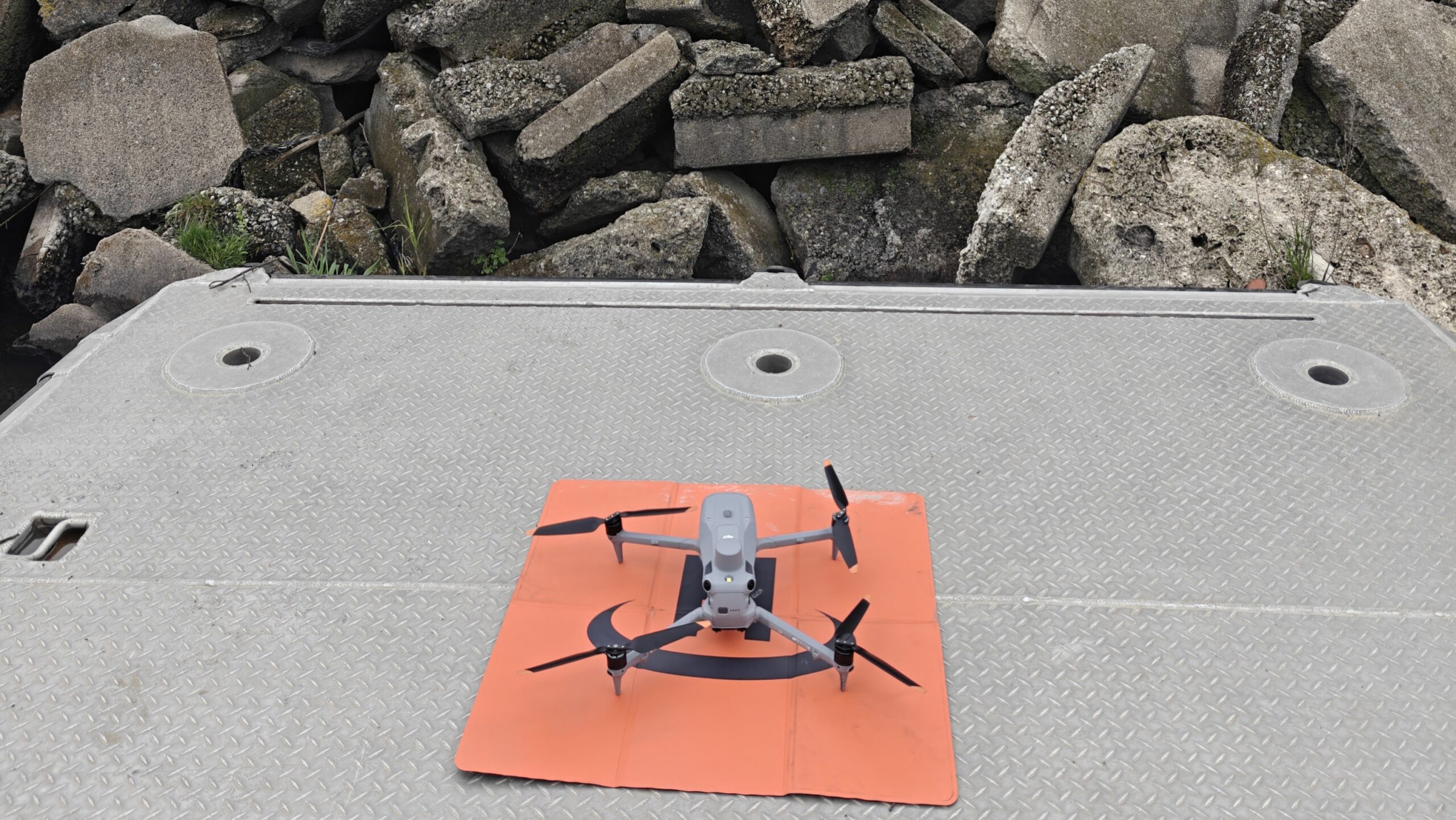
In instances when environmental challenges threaten a sensitive river ecosystem, speed and precision are essential. The team at Helios Visions was recently tasked with supporting an emergency environmental cleanup project that required high-accuracy mapping of a waterway and its surrounding shoreline using their DJI Matrice 4E drone.
The Challenge: Mapping Without a Base Station
The challenge they faced was a common one: They needed centimeter-level positioning to guide field crews, but their ground-based RTK system couldn’t be deployed. Setting up a fixed base station wasn’t possible in the tight, shifting conditions along the river, and much of their work took place directly from boats.
In traditional drone surveying, achieving survey-grade accuracy means placing ground control points or operating a local RTK base station. But for this project, Helios Visions faced several constraints:
- The cleanup area stretched for several miles along a winding waterway.
- Ground control placement was impractical in many sections due to terrain and safety concerns.
- Base station range limitations meant correction data would be lost partway through operations.
In this emergency scenario, Helios Visions needed to be highly mobile. Setting up and breaking down base stations wasn’t an option due to time limitations and an ever changing operating environment.
That’s where Swift Navigation’s Skylark™ Precise Positioning Service made the difference.
The Solution: Swift Navigation’s Cloud-Based RTK
Helios Visions chose to rely on Swift Navigation’s Skylark™ Nx RTK service for their drone operations.
“Swift Navigation was critical for us to complete this mission with RTK precision. We needed to be extremely mobile in this emergency. Setting up and breaking down base stations was not an option due to time limitations. We decided to go with Swift’s Skylark Precise Positioning Service for our drone operations. This not only allowed us to have a mobile RTK connection, but it was so good that we were able to take off and land with a converged RTK connection from a small boat. It worked in challenging environments.”
Tyler Gibson, Co-Founder, Helios Visions
Using Skylark, Helios Visions streamed corrections directly from Swift Navigation’s cloud-based Virtual Reference Station (VRS) network to their RTK-enabled drone via a cellular link. This provided them with:
- 1–2 cm positioning accuracy without needing any base station.
- Immediate convergence times, allowing mapping to start right after takeoff.
- Full mobility launching from any point along the river.
- Reliable performance in challenging environments, including dense tree canopy edges and varying weather conditions.
“Skylark is architected for just these types of scenarios where maximum precision is required, but setting up a local base station is impractical. Our advanced atmospheric modeling and professionally run network infrastructure provide the most reliable corrections service in the industry. We’re proud to have contributed to this emergency environmental cleanup project.”
Marwan Ramadan, Sr. Director of Product Marketing, Swift Navigation
Why Precision Mattered
- Map debris fields and impacted zones so crews could prioritize work. Measure shoreline changes to assess ongoing environmental impacts.
- Track cleanup progress over multiple weeks with repeatable flight paths.
- Integrate with GIS datasets for environmental reports and compliance requirements.
Technology That Works Where Others Can't
By combining RTK-enabled drones with Skylark Nx RTK, Helios Visions created a flexible, mobile, and high-accuracy mapping workflow that worked flawlessly in areas where traditional RTK fails.
In environmental projects where ground-based infrastructure isn’t an option—like rivers, wetlands, and remote coastlines—our cloud-based RTK corrections unlock a new level of capability. When the mission is urgent, the terrain is unforgiving, and time is short, mobility and precision win the day. With Swift Navigation, Helios Visions had both.
Ready to start your next high-precision project? Sign Up to Skylark Today.
You can read the original case study for more details on the Helios Visions website.