



Executive Summary
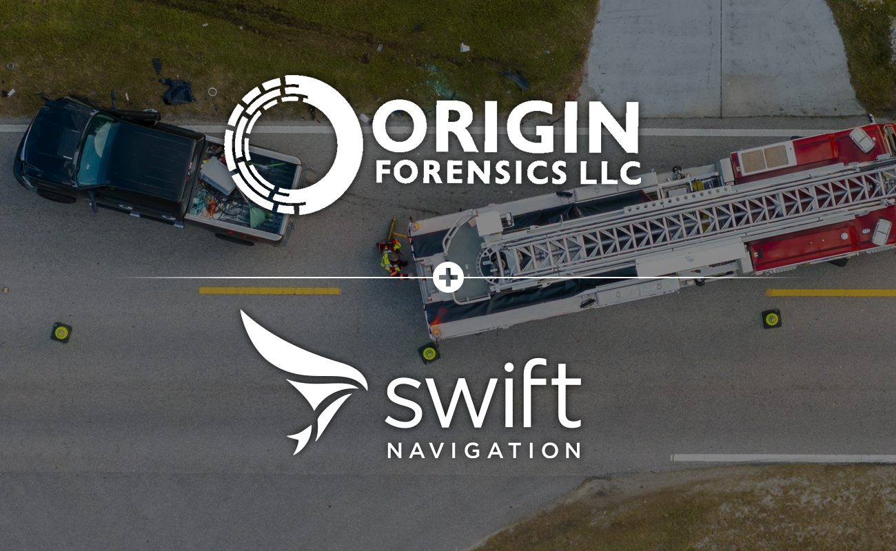
Origin Forensics is a premier forensic consulting firm specializing in crash reconstruction through physics and engineering. They recently added Emlid RS2+, RS3, and RX devices to their fleet, powered by Skylark™ Precise Positioning Service’s cloud-based RTK corrections, to enhance their scene mapping capabilities. By adopting a more targeted approach to data collection, the firm has improved field efficiency and data redundancy, ensuring their three-dimensional reconstruction models meet the high-fidelity standards required for legal court proceedings.
The Challenge: The Need for Targeted Data Collection
In the high-stakes world of litigation, Origin Forensics must provide survey-grade accuracy—often within a couple of centimeters—to reconstruct vehicle crashes for clients ranging from private individuals to Fortune 500 automotive OEMs.
Historically, the firm relied on terrestrial laser scanning and drone mapping using ground control points for photogrammetry. Laser scanning was often inefficient for capturing discrete reference points because it produces a vast amount of data, most of which is not relevant to their reconstructions. The volume of data slowed down post-processing workflows. The firm needed a more surgical, mobile tool to complement their drone workflows and provide redundancy in environments where aerial visibility is obstructed.
The Solution: Integrating Skylark with Emlid Devices
Origin Forensics now uses Emlid RTK rovers connected to Skylark Nx RTK. This integration allows for:
- Targeted Point Collection: Rapidly capturing specific points of interest (debris, tire marks, landmarks) without deploying a full laser scanner.
- Broad Coverage: Utilizing Skylark’s advanced atmospheric model to provide wider base station coverage, which is critical for projects in remote locations.
- Redundancy & Verification: Creating fixed checkpoints, such as road markings and curbsides, to verify the accuracy of drone maps and ensuring data remains robust under legal scrutiny.
Outcomes: Solving Data Collection and Accuracy Challenges
Origin Forensics’ integration of Emlid and Skylark directly addressed their prior workflow inefficiencies and data collection limitations, leading to superior field performance and data reliability.
- Surgical and Complete Data Capture: The mobility of the rover allows the team to collect evidence, such as points in tall grass or brush, that is often invisible or inaccessible during standard drone mapping.
- Uncompromising Accuracy for Court: The solution achieves horizontal accuracy of less than 2cm, upholding the firm’s requirement for millimetric accuracy in litigation.
- Scalable Technology Adoption: By utilizing the Emlid Survey phone app and Skylark’s flexible pricing, Origin Forensics can deploy advanced GNSS technology without the prohibitive financial barriers associated with traditional surveying equipment.
"We use drones for horizontal mapping and laser scanners for vertical detail, but there's this sweet spot in between where Skylark fits perfectly. It gives us redundancy and the ability to target specific evidence—debris, tire marks, landmarks—that might be invisible from the air."
Jarrod Carter — Principal and Owner, Origin Forensics
Looking Ahead
This initial deployment confirms that the Swift Navigation-Emlid ecosystem is an essential asset for forensic professionals. By combining Swift’s broad coverage and reliable corrections with Emlid’s affordable and user friendly devices, this partnership empowers experts to transform complex crash environments into irrefutable evidence.
Learn more: Origin Forensics | Skylark for GIS Mapping | Swift Navigation’s Partnership With Emlid | How to Set Up The Emlid Reach RX With RTK Corrections