Blog
3 Signs Your GIS Mapping Process is Broken (And How to Fix It)

Geographic Information Systems (GIS) have become indispensable tools in various fields, transforming the way we analyze, interpret, and visualize spatial data. From urban planning and environmental management to disaster response and precision agriculture, GIS applications have permeated many aspects of our lives. As applications for GIS grow, the demand for data grows along with it. And when the use cases require high precision location, scaling data capture processes can become a challenge.
Consider a city with an initiative to map all of its critical infrastructure to enable smart operations, fault alerts, and efficient maintenance. As a first step, the city may purchase mobile GIS software that runs on regular smartphones and send scores of workers out to collect data about pipes, manhole covers, telephone poles, fire hydrants, and more. While the ubiquity of smartphones could help this city scale the project quickly and cost effectively, the location provided by smartphones is only accurate within three 3-5 meters. In the context of a smart city, three meters can be the difference between digging a trench next to buried fiber optic cable or right through it.
Businesses and municipalities have a few options to achieve better location accuracy, but they all come with challenges of their own. If you’re using any of these three strategies to achieve accuracy below 30 cm, it may be time to look for a new solution
-
You’re post-processing data to achieve required accuracy
Because GIS applications do not require real-time data capture (ie, the location data doesn’t need to be used immediately), post-processing location data is often deemed sufficient. Field workers can collect location data with three meter accuracy, and the accuracy can be improved using post-processing software or manual processes to stitch that data together with other data points through methods such as photogrammetry.
Post-processing has two major disadvantages. First, it requires extra software and/or resources to conduct the work. Businesses and municipalities have to weigh these added costs against the cost to equip their field workers with high precision equipment, and in some cases they determine that post-processing is the more cost-effective solution. Second, it is only sufficient for data capture during the initial mapping stage. Post-processing cannot help a worker who needs to locate a piece of infrastructure for maintenance, for instance.
-
You’re using surveyors for tasks that don’t require their skills
Most GIS applications do not require centimeter-level precision or the use of a licensed surveyor for legal purposes. However, when the available resources are either a field worker with a smartphone or a surveyor with high precision equipment, sometimes businesses or municipalities will choose to bring in the surveyor because that’s the only way to achieve the required precision.
Not only is this an unnecessary use of a highly skilled and expensive resource, it also pulls that surveyor away from other projects that do require their skills and equipment.
-
You’ve invested in equipment, but can’t afford to scale with it
There are a number of receivers on the market that are well suited to GIS use cases, offering either centimeter-level or decimeter-level precision and ease of use. However, these receivers can cost over $1500 for decimeter accuracy and $3000-5000 (and up!) for centimeter accuracy and, and may still require additional software subscriptions to achieve the desired accuracy.
For municipalities and government-run agencies in particular, investing in a large number of these devices is an expensive line item in the budget that can be difficult to defend.
How to choose a precise positioning solution for your GIS project
To select the best tools for your project, it’s helpful to first understand a bit about how the global navigation satellite system (GNSS) works.
Satellites broadcast signals across the globe that GNSS receivers can use to calculate their location. However, drifts in the satellites’ clock and orbit, as well as signal delays caused by atmospheric conditions, introduce errors in these calculations that must be corrected using a service like Swift's Skylark Precise Positioning Service to arrive at a precise position.
Smartphones have GNSS receivers in them, but do not typically apply any corrections to the signals, which limits their accuracy. Standalone GNSS receivers use a variety of different techniques to correct for errors in the GNSS signals, resulting in accuracy from 1.5 meters at the high end all the way down to two centimeters at the lowest end. Unsurprisingly, you can generally expect to pay more for receivers that deliver greater accuracy, but there are many options at different price points for any project. That’s why it’s important to select the right equipment for the right job.
Surveyors who are drawing up legally binding property lines or recording the location of high-voltage buried wires require maximum precision, so they need a receiver that can achieve 2-4 cm accuracy. But field workers who are installing irrigation systems in city parks can manage with a bit less precision, so it doesn’t make sense to purchase expensive receivers for the job. Workers doing these types of jobs also typically don’t have the same training and expertise as licensed surveyors, so it’s wise to select a receiver that is simple to use and doesn’t have a lot of superfluous features.
High performance at an affordable price
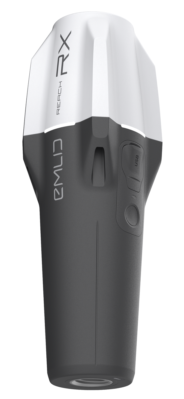
For projects that require centimeter-level accuracy there is generally a large selection of receivers to choose from, with features built out for specific use cases, such as tilt compensation, extended battery life and memory, and purpose-built applications. Equipment from the big players in surveying is often on the pricier side, and typically comes bundled with an entire vertically-integrated solution that may not be appropriate for your project. But there are many suitable receivers on the market at more affordable price points that deliver the same accuracy and flexibility to configure a fit-for-purpose solution. For instance, Emlid offers a selection of receivers within the $2000-3000 range. The optimal choice for high precision GIS applications — the Emlid Reach RX network rover — is interoperable with Swift's GNSS corrections service.
See how Deutsche Telekom uses the Emlid Reach RX with Skylark corrections to reduce its reliance on surveyors and increase efficiency as they lay underground fiber optics throughout Germany.
By pairing the right receiver with the right corrections service, businesses and municipalities can equip their entire teams with the tools they need to do their jobs at an affordable cost.
Do you have questions about how to get started with your first GNSS receiver or how to add GNSS corrections to your existing GIS toolset? Get in touch with us to discuss your project.