What is a CORS (Continuously Operating Reference Station)?
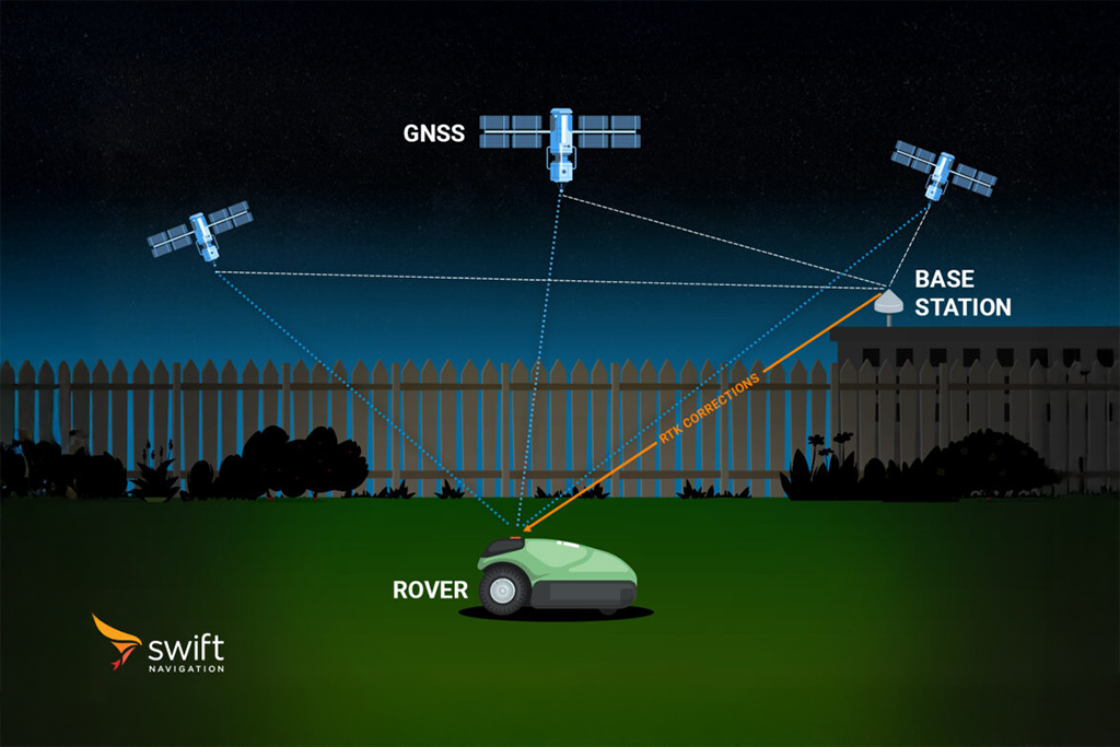
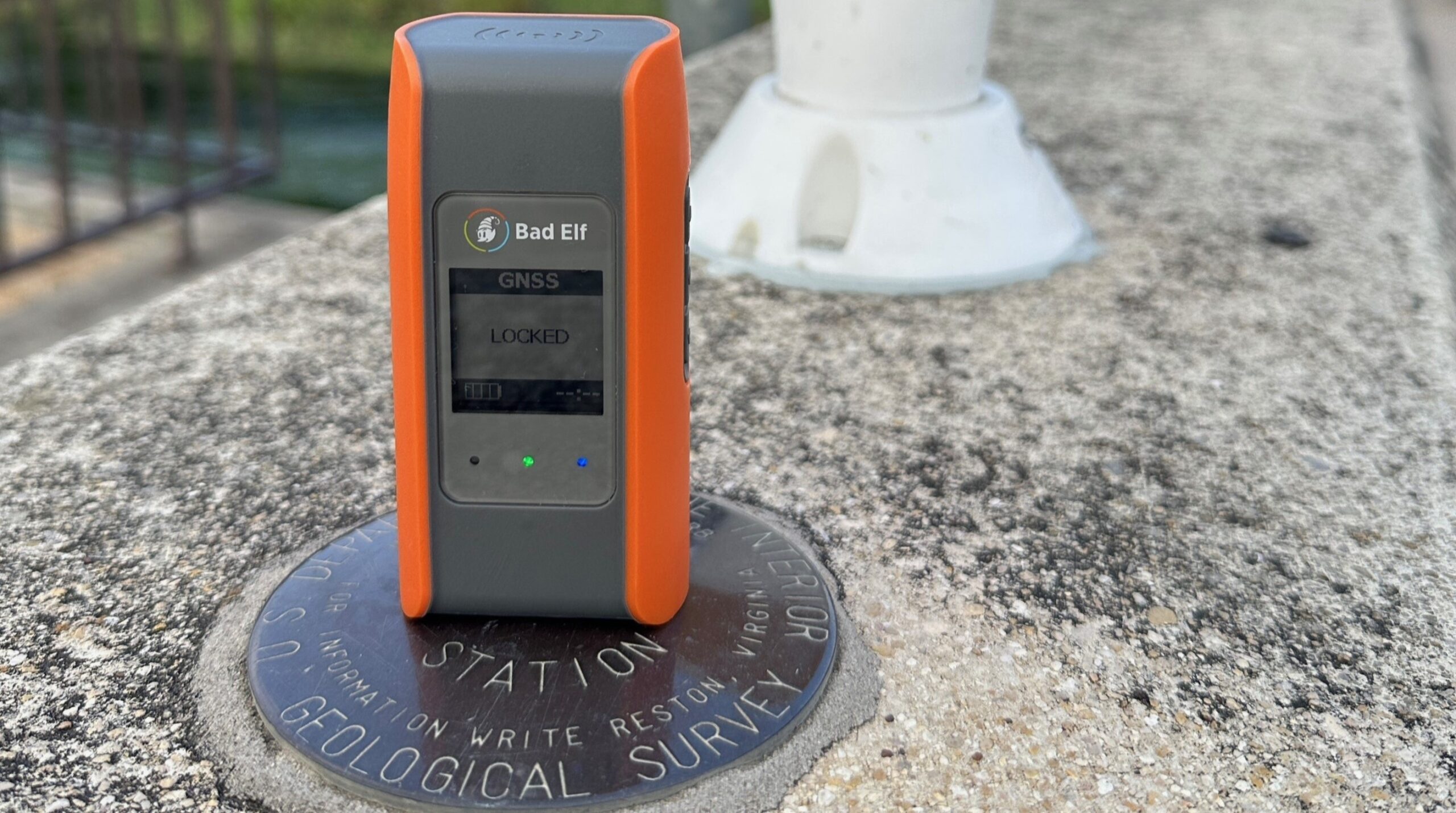
A CORS (Continuously Operating Reference Station) is a reference station that provides continuous and permanent real-time positioning information for a specific area. These stations are equipped with high-quality GNSS receivers and antennas installed at precisely known locations.
The fundamental purpose of a CORS is to provide an unwavering and ongoing source of positional reference data by collecting raw satellite signals continuously. By constantly comparing its known spatial coordinates with incoming satellite data, CORS generates highly precise correction information that dramatically improves the accuracy of standard satellite positioning – from errors measuring several meters down to a matter of centimeters or even millimeters.

These stations are often networked across wide areas, forming the technical backbone behind high-precision positioning for mission-critical fields such as land surveying, GIS mapping, precision agriculture, civil engineering, robotics, scientific research, and autonomous vehicles. By delivering both real-time corrections (Real-Time Kinematic, or RTK) and post-processed data (Post-Processed Kinematic, or PPK), CORS networks accommodate a broad array of professional and scientific workflows that demand pinpoint accuracy. The reliability, stability, and constant operation of CORS systems have made them indispensable wherever exact spatial information is required, and many CORS networks (usually those provided by governemnt entities) further foster innovation by publicly sharing their data and correction streams.
Key features and benefits of CORS:
- Provides a continuously-updated reference point for GNSS positioning, operating 24/7 at precisely known locations.
- Generates correction data that reduces GNSS errors from meters to centimeters or millimeters, ensuring the highest possible positional accuracy.
- Supports both real-time (RTK) and post-processed (PPK) GNSS correction workflows for diverse professional applications.
- Forms the essential infrastructure for high-precision activities in surveying, agriculture, mapping, engineering, robotics, and autonomous systems.
- Government-run CORS networks usually offer public access to data, enabling wider adoption and technological advancement in geospatial fields.
Related Content
GNSS Basics

Devon Sharp

Marwan Ramadan

Marwan Ramadan

Devon Sharp

Devon Sharp

Marwan Ramadan

Devon Sharp

Marwan Ramadan
GIS

Devon Sharp

Devon Sharp
ROBOTICS

Marwan Ramadan

