What is RTK?
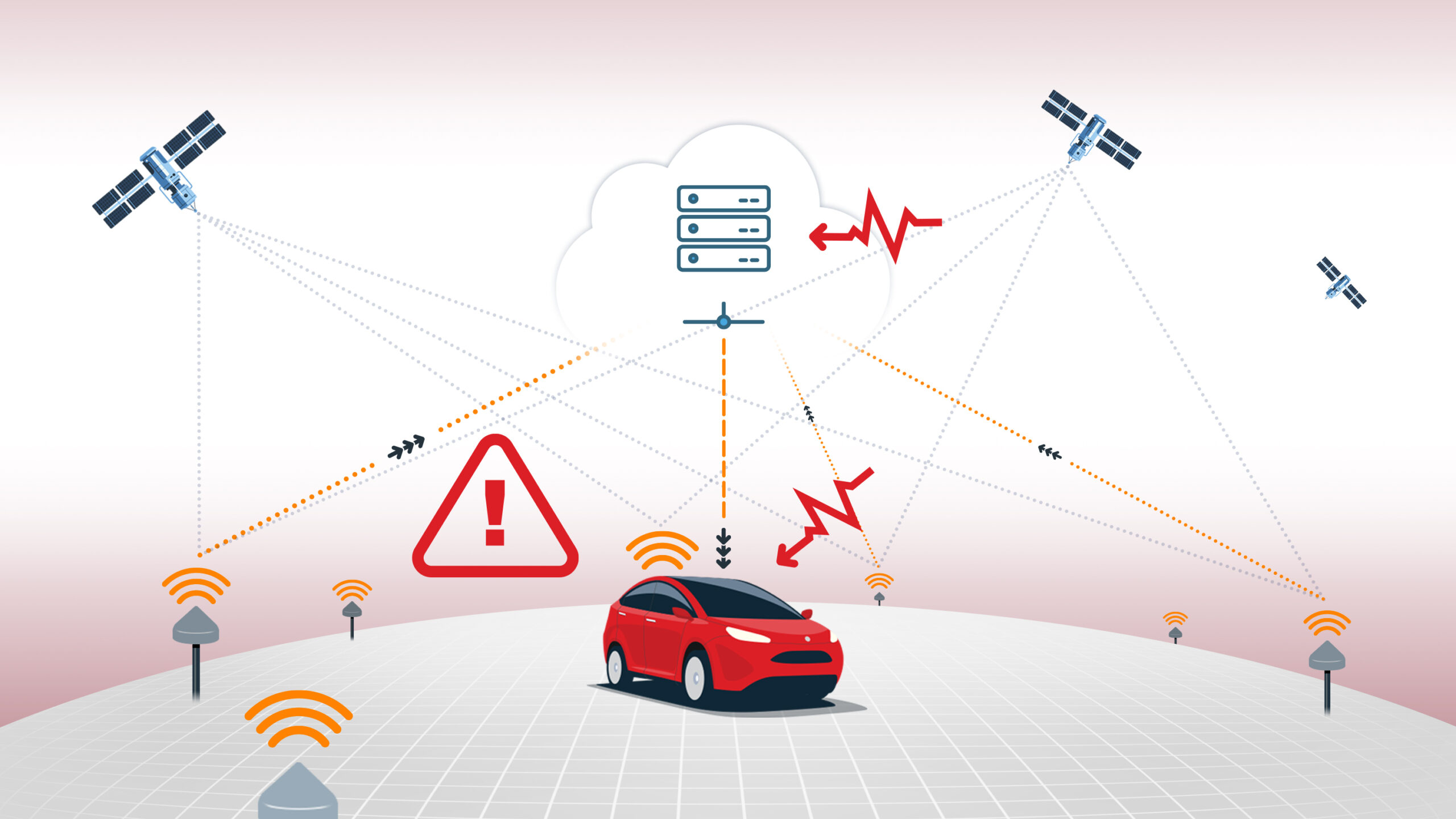
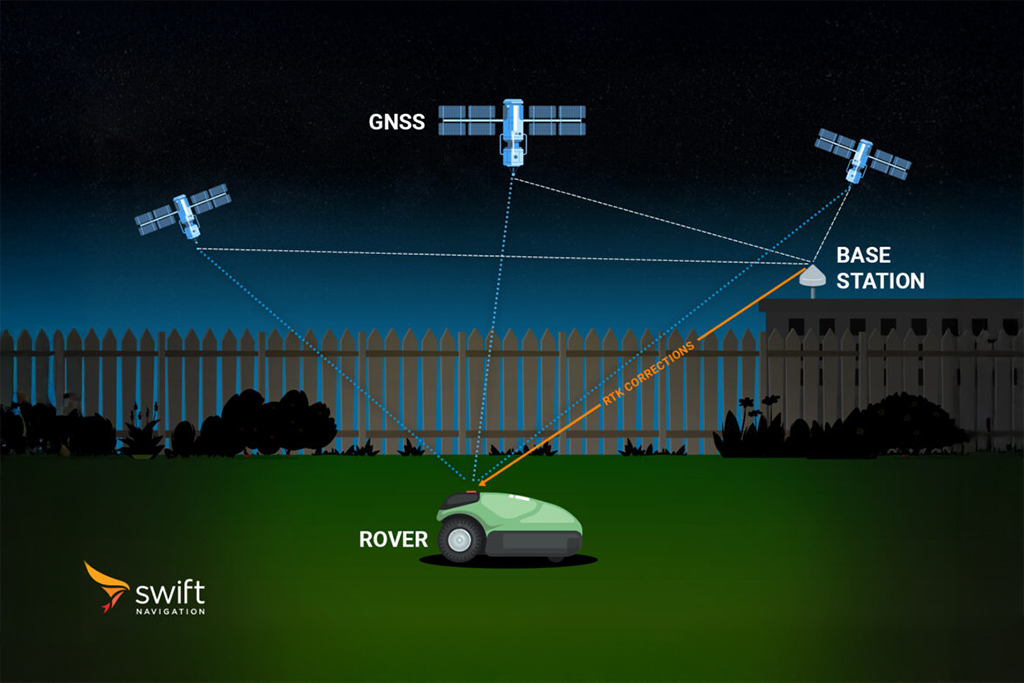
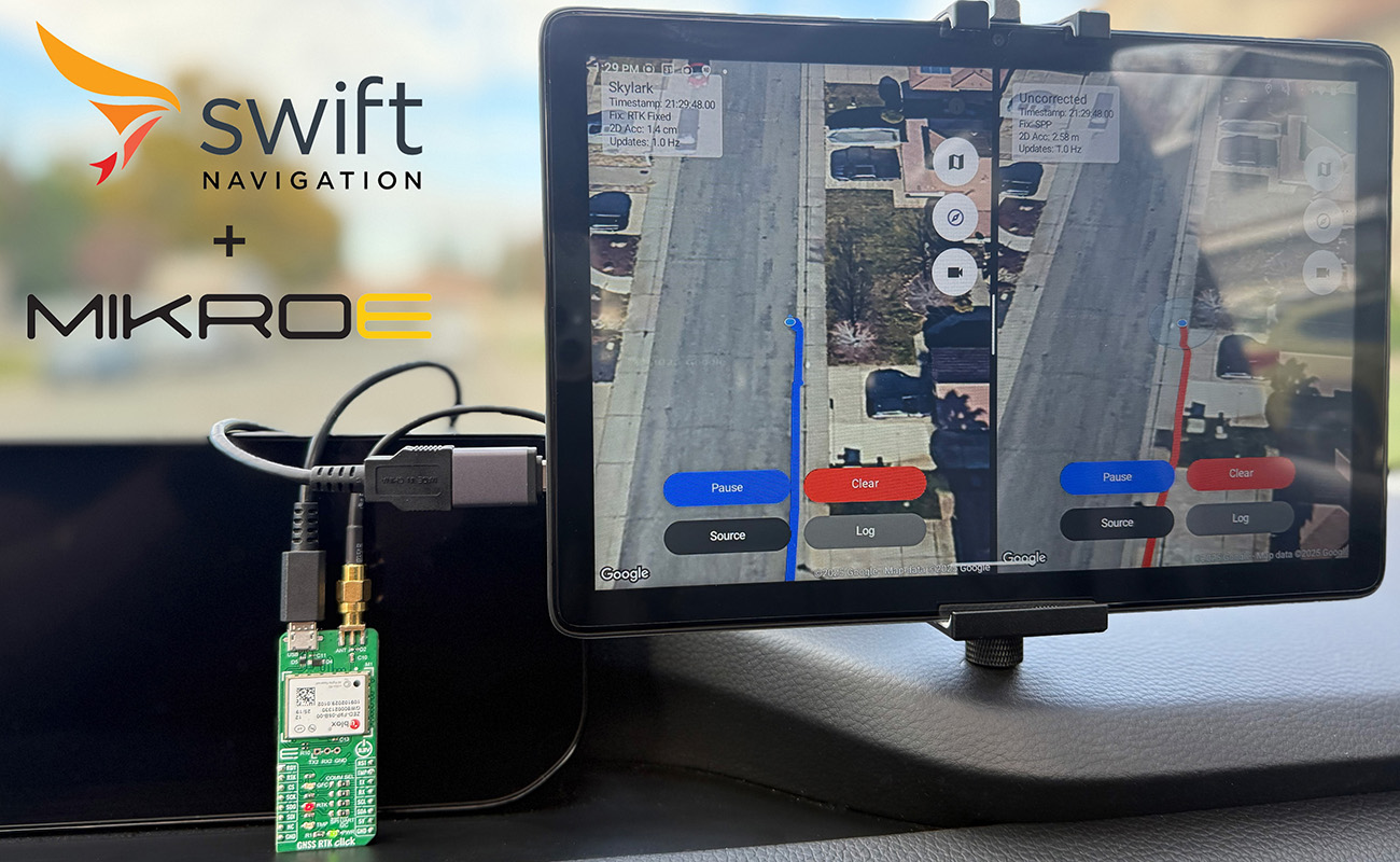
RTK, or Real-Time Kinematic, is a satellite navigation technique used to achieve centimeter-level positioning accuracy. Traditional RTK works by using two or more GNSS receivers: a base station and one or more rovers. The base station is placed at a precisely known location and continuously receives signals from GNSS satellites. It calculates the errors in the satellite signals due to atmospheric delays, satellite clock errors, and other factors, then transmits correction data to the rover(s) in real time. The rover applies these corrections to its own satellite observations, allowing it to resolve the integer ambiguities of the carrier phase measurements. A process known as ambiguity resolution. When these ambiguities are resolved to integer values, the system achieves a “fixed” RTK solution, delivering centimeter-level accuracy. If ambiguities are not fully resolved, a “float” RTK solution is available, which is less accurate but still better than standalone GNSS.
RTK is widely used in applications requiring high precision, such as surveying, autonomous vehicles, precision agriculture, and robotics. Reliable communication between the base and rover, good satellite visibility, and strong signal quality are essential for optimal RTK performance.
To learn more about RTK and the other GNSS correction types, such as PPP-RTK and SBAS, read our blog What are the Different GNSS Correction Methods?
Related Content
GNSS Basics

Devon Sharp

Marwan Ramadan

Marwan Ramadan

Devon Sharp

Devon Sharp

Marwan Ramadan

Devon Sharp

Marwan Ramadan
GIS

Devon Sharp

Devon Sharp
ROBOTICS

Marwan Ramadan

