Network RTK (Real-Time Kinematic) is a state-of-the-art GNSS correction technique designed to deliver centimeter-level positioning accuracy over broad geographic regions. Unlike traditional single-base RTK—which relies on one local reference station and experiences accuracy loss with increasing distance—Network RTK integrates data from multiple continuously operating reference stations (CORS) spread throughout a region. By leveraging this network, spatially correlated errors (such as those caused by atmospheric delays, satellite orbits, and clock errors) are modeled collectively, and corrections are interpolated precisely based on the user’s real-time location.
How Network RTK Works
Reference Network: Multiple reference stations simultaneously collect GNSS data and transmit it to a central processing center.
Error Modeling: The network analyzes errors like ionospheric and tropospheric delays that affect positioning, generating correction data tailored to each rover’s position.
Data Delivery: Corrections are typically provided over internet protocols such as NTRIP (Networked Transport of RTCM via Internet Protocol) in standardized formats like RTCM 3.x, which ensures compatibility with most modern RTK receivers.
Virtual Reference Stations (VRS): In some implementations, the system generates a “virtual” reference station near the user’s rover, further enhancing accuracy and reliability by minimizing baseline distance effects.
Advantages of Network RTK
Eliminates the need for individual users to deploy and maintain their own base stations.
Maintains high reliability and improved redundancy; users can access consistent correction data across a wide area, even if a single reference station experiences a problem.
Provides rapid, robust convergence to fixed-integer GNSS solutions, which supports accuracy and operational scalability.
Common Applications of Network RTK
Surveying: Precise land, construction, and geospatial measurements.
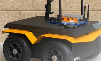
Autonomous Vehicles: High-precision navigation for cars, drones, and robotics.
GIS Mapping: Accurate data collection for resource management.
Agriculture: Precision farming and automated machinery.
Network RTK: Limitations and Considerations
Dependent on network density and internet connectivity for optimal performance; rural or remote regions may have limited coverage.
Performance can be affected by the quality and health of the reference network, atmospheric activity, and satellite geometry.
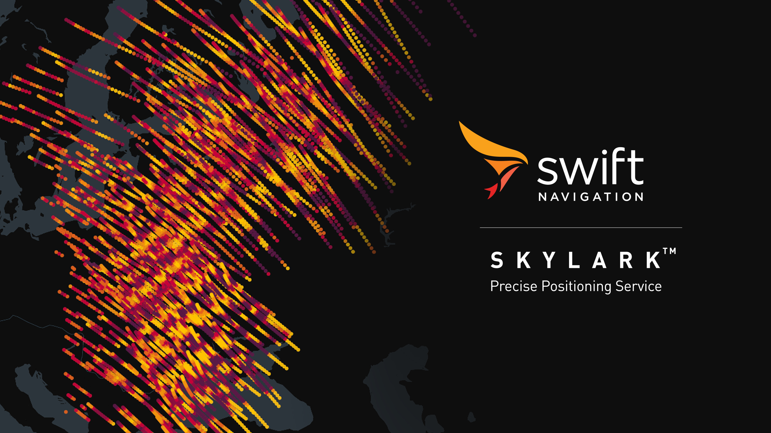
Example: Swift Navigation’s Skylark Nx RTK
Swift’s Skylark Nx RTK exemplifies Network RTK’s capabilities—providing rapid convergence, broad coverage, and support for multiple global reference frames (e.g., ITRF2020, NAD83), making it suitable for a wide range of high-precision, large-scale operations.