What is SSR?
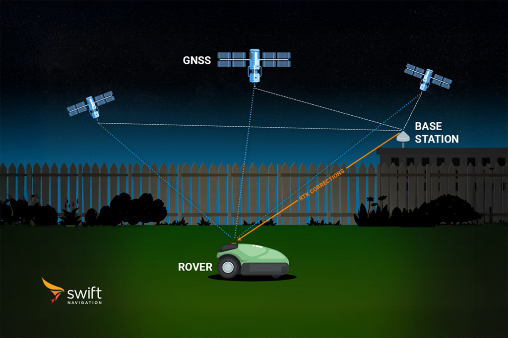
SSR stands for State Space Representation, a data format used in GNSS correction services. In SSR, GNSS errors are disaggregated into their individual components, such as satellite orbit errors, clock errors, ionospheric delays, and tropospheric delays, and corrections for each error type are transmitted separately to the receiver. This contrasts with Observation Space Representation (OSR), where corrections are aggregated and provided directly for each satellite observation.
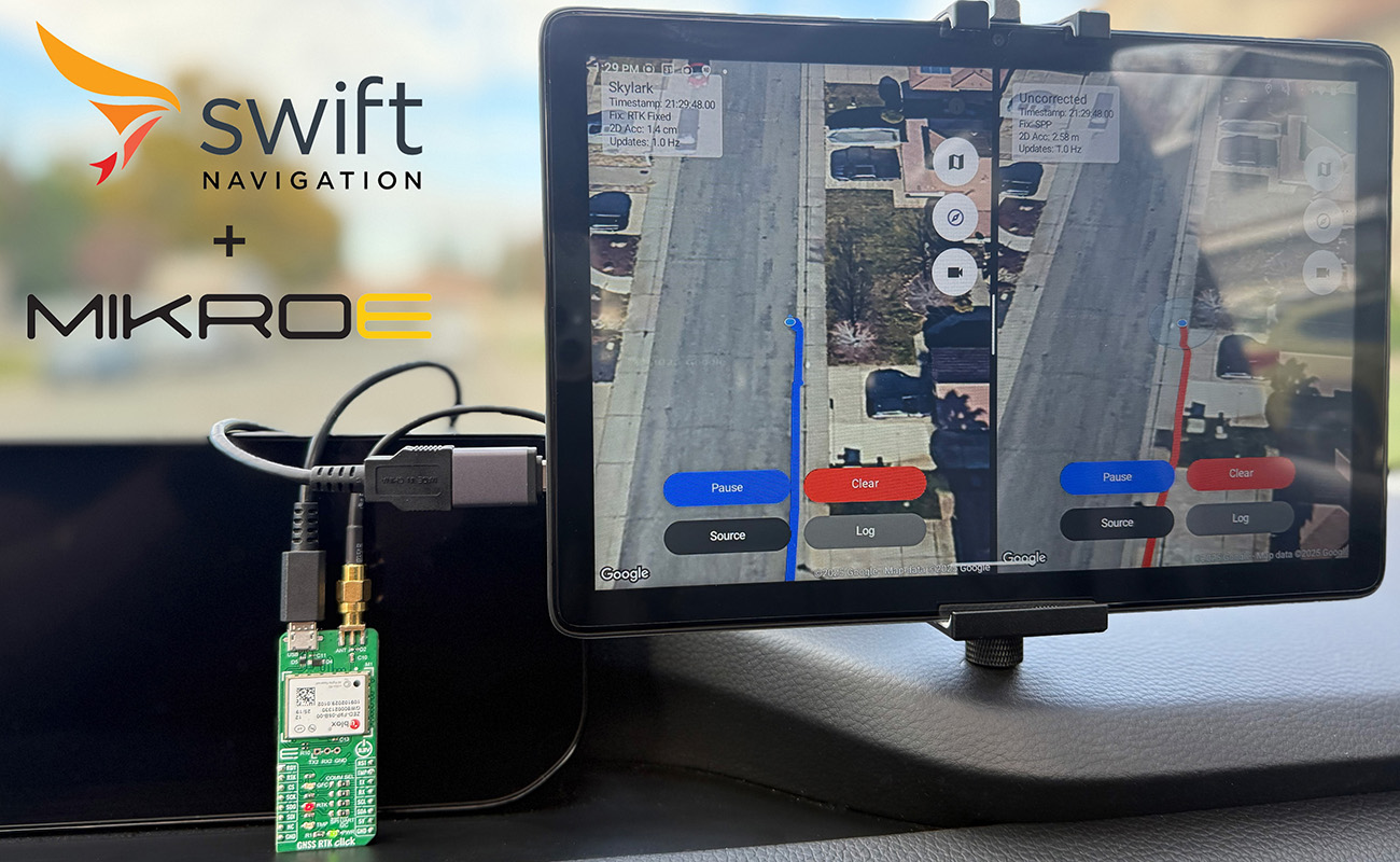
State Space Representation enables more flexible and scalable correction services, as receivers can apply only the relevant corrections for their location and use case. It is widely used in network-based GNSS correction services like Swift Navigation’s Skylark, which provides high-precision positioning by broadcasting SSR corrections over wide areas. Space State Respresentation is essential for enabling real-time kinematic (RTK) and precise point positioning (PPP) solutions at scale, supporting applications in automotive, robotics, surveying, and more.
Related Content
GNSS Basics

Devon Sharp

Marwan Ramadan

Marwan Ramadan

Devon Sharp

Devon Sharp

Marwan Ramadan

Devon Sharp

Marwan Ramadan
GIS

Devon Sharp

Devon Sharp
ROBOTICS

Marwan Ramadan

