What is The Wide Area Augmentation System (WAAS)?
The Wide Area Augmentation System (WAAS) is a Satellite-Based Augmentation System (SBAS) developed and operated by the U.S. Federal Aviation Administration (FAA). Its primary purpose is to augment the Global Positioning System (GPS), significantly enhancing its accuracy, integrity, and availability to support safety-critical applications, particularly precision air navigation and aircraft landing approaches across its coverage area (North America and parts of the Pacific).
How WAAS Corrections Work (The Architecture)
WAAS uses a multi-layered network to compute and broadcast corrections to end-users:
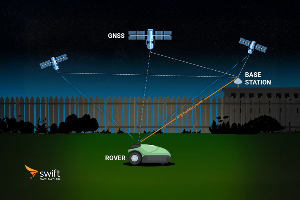
Ground Segment (Reference Stations): A geographically dispersed network of Wide-area Reference Stations (WRS) across North America and Hawaii continuously monitors signals from GPS satellites. These stations precisely measure errors (related to satellite clocks, orbits, and atmospheric delays).
Master Stations (WMS): Measurements from the WRS network are routed to master stations, which compute wide-area correction models (including Deviation Correction – DC) and comprehensive error models. Crucially, they also generate integrity information regarding the reliability of the GPS satellites.
Space Segment (GEO Satellites): The finalized correction messages are uploaded to Geostationary Earth Orbit (GEO) satellites. These GEO satellites rebroadcast the WAAS signal back to Earth, typically on the GPS L1 frequency (and L5 frequency in newer upgrades). This broadcast is timely, with corrections updated every 5 seconds or better.
User Segment: WAAS-enabled GNSS receivers (on aircraft, marine vessels, or ground vehicles) receive the corrections and integrity data, allowing them to compute a highly reliable, refined position solution.
Key Features and Global Context
WAAS is the US’s operational implementation of an SBAS as defined by the International Civil Aviation Organization (ICAO).
Integrity: A core function of WAAS is providing integrity information—a guarantee that the position error is within defined safety limits—making it suitable for safety-of-life applications.
Accuracy: WAAS improves standalone GPS accuracy from several meters down to sub-meter accuracy (typically 1–3 meters).
Correction Types: The broadcast messages contain information necessary for position refinement, including satellite clock and orbit corrections, ionospheric grid corrections, and ranging data.
Evolution: The system is continually upgraded, with recent efforts focusing on adding support for dual-frequency (DF) operation to further enhance robustness and integrity, especially for advanced approach procedures.
Similar SBAS systems operate globally to augment GNSS constellations in their respective regions:
Related Content
GNSS Basics

Devon Sharp

Marwan Ramadan

Marwan Ramadan

Devon Sharp

Devon Sharp

Marwan Ramadan

Devon Sharp

Marwan Ramadan
GIS

Devon Sharp

Devon Sharp
ROBOTICS

Marwan Ramadan

