What is a GNSS Station?
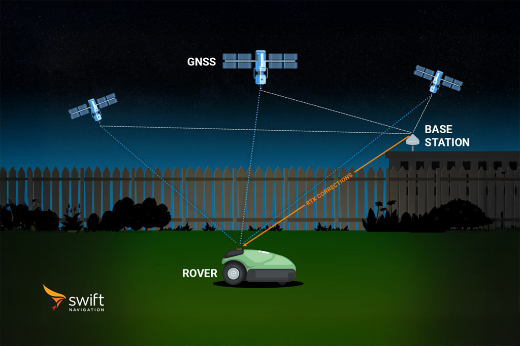
A GNSS station is a fixed installation consisting of a GNSS (Global Navigation Satellite System) receiver and antenna, positioned at a precisely known location on the Earth’s surface. These stations are key components of high-precision positioning and correction networks, including those used for Real-Time Kinematic (RTK), Network RTK, and State Space Representation (SSR) services.
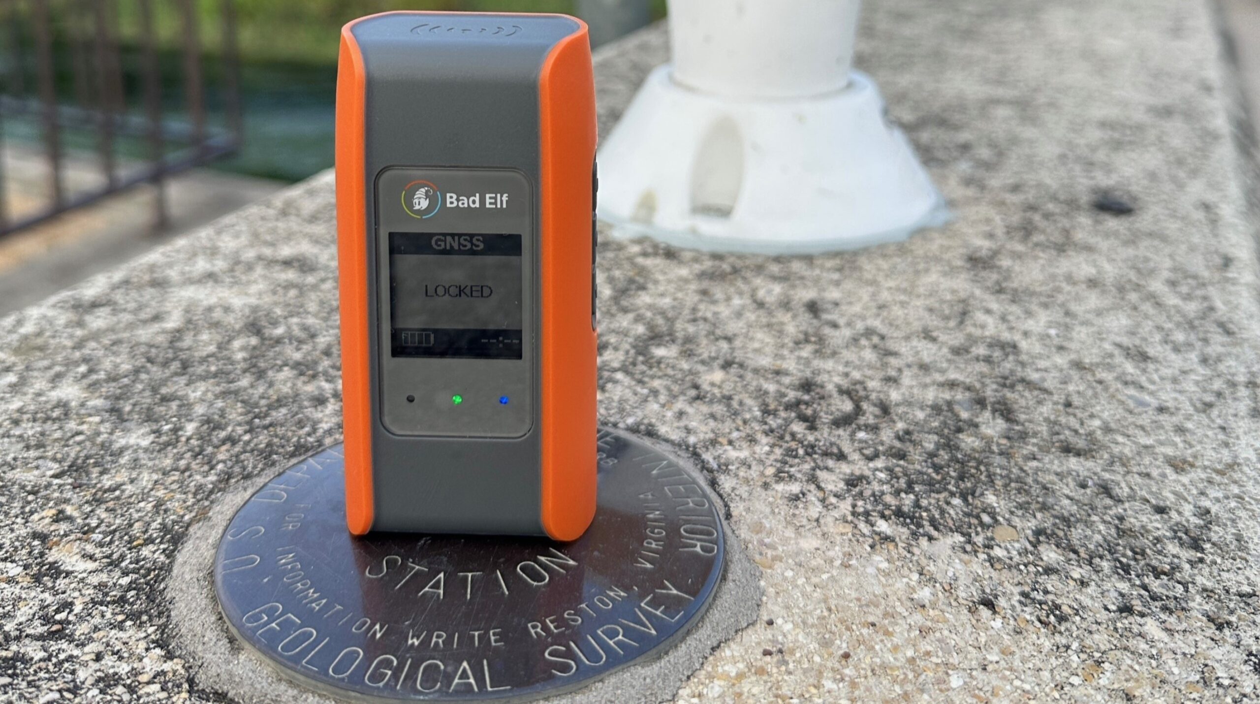
Each GNSS station has a unique set of X, Y, Z coordinates, typically defined in an internationally recognized reference frame like the International Terrestrial Reference Frame (ITRF). Beyond the physical hardware, a GNSS station is defined by its geodetic position and is assigned a unique, permanent identifier—often following the International GNSS Service (IGS) convention.
GNSS stations serve two main functions:
- Reference Data for Corrections: They provide the critical ground truth positions needed to generate GNSS correction data, improving the accuracy of nearby mobile GNSS receivers (rovers).
- Network Monitoring: They help monitor the health, accuracy, and integrity of the GNSS network by detecting anomalies and performance issues in real time.
In single-base RTK, one station provides corrections to local users. In Network RTK or SSR, corrections are generated using data from multiple, regionally distributed stations. The station concept is abstracted from any specific hardware—continuity, precise geodetic coordinates, and historical data integrity define the station. This enables hardware upgrades or replacements without changing its identity, as long as the position remains unchanged.
GNSS stations are foundational to precise and reliable GNSS solutions across automotive, robotics, surveying, construction, agriculture, and critical infrastructure monitoring applications.
Related Content
GNSS Basics

Devon Sharp

Marwan Ramadan

Marwan Ramadan

Devon Sharp

Devon Sharp

Marwan Ramadan

Devon Sharp

Marwan Ramadan
GIS

Devon Sharp

Devon Sharp
ROBOTICS

Marwan Ramadan


