


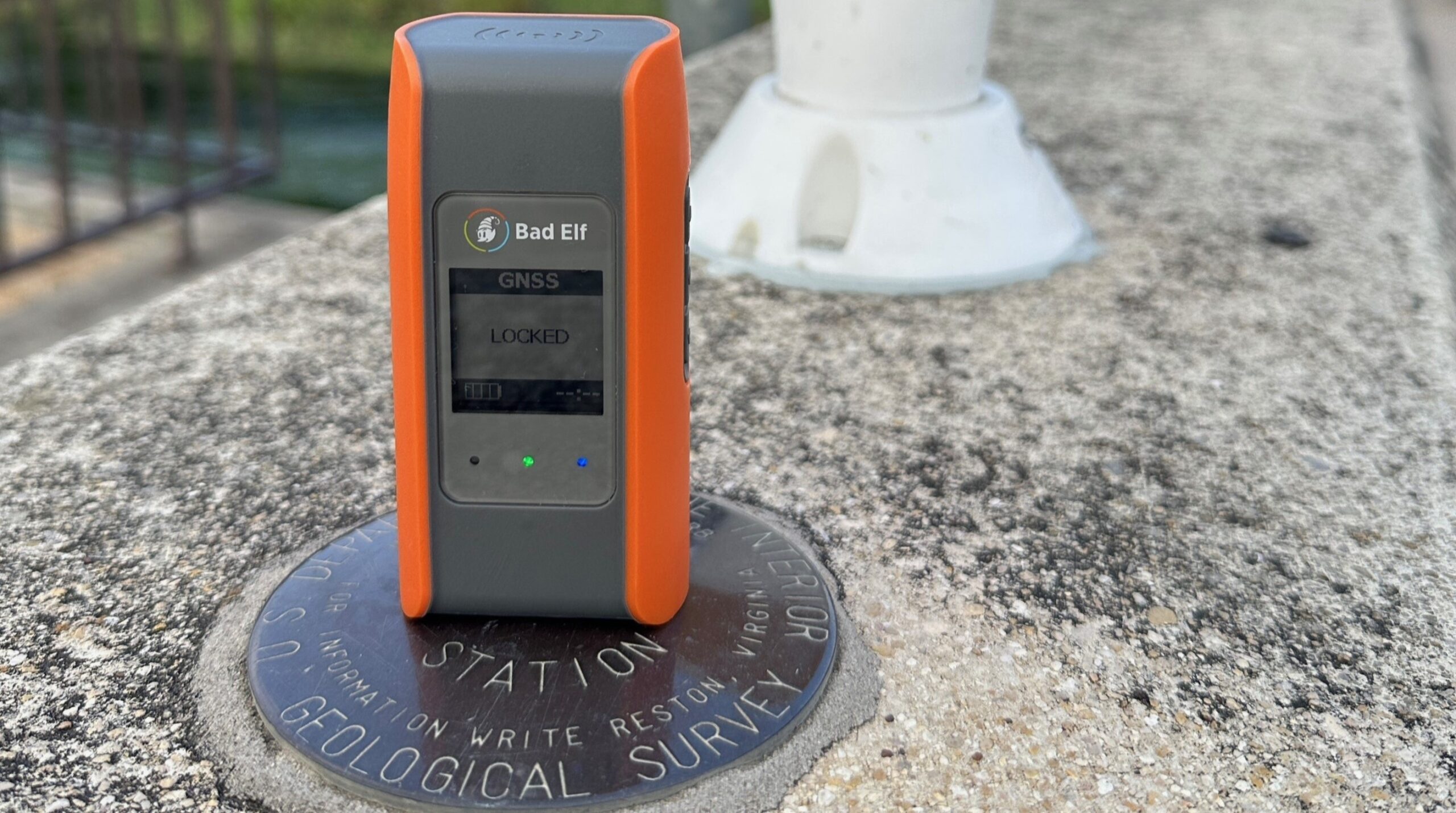

How Origin Forensics Maps Crash Sites with Skylark Nx RTK
By using Skylark Nx RTK and Emlid rovers, forensic consulting firm Origin Forensics has enhanced its crash reconstruction capabilities, enabling targeted data collection and survey-grade accuracy for high-stakes legal proceedings. This efficient, mobile solution allows the team to rapidly capture precise evidence even in challenging environments, ensuring robust data redundancy and superior field performance.
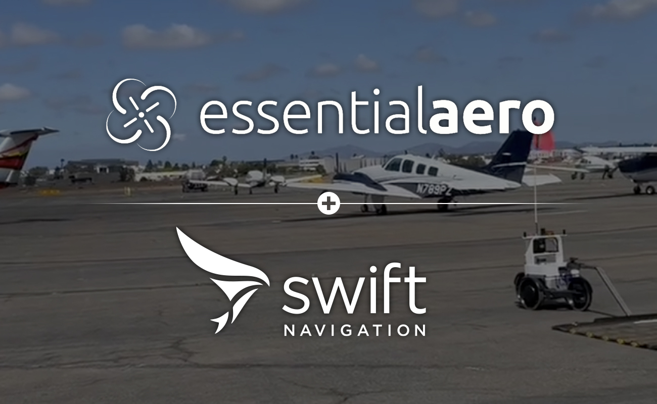
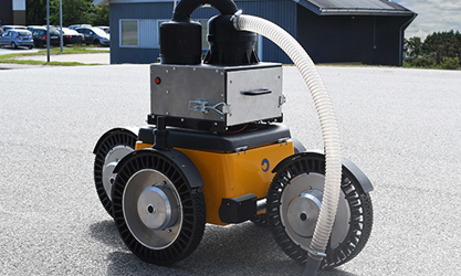
Essential Aero Uses Skylark to Enable Autonomous Airport Operations with Centimeter-Level Precision
Essential Aero is transforming airport ground operations by deploying autonomous robots for foreign object debris (FOD) collection, powered by Swift Navigation’s Skylark Nx RTK. This partnership provides the centimeter-level precision and geofencing required to enhance airfield safety and significantly reduce the $22 billion in annual costs associated with FOD damage.
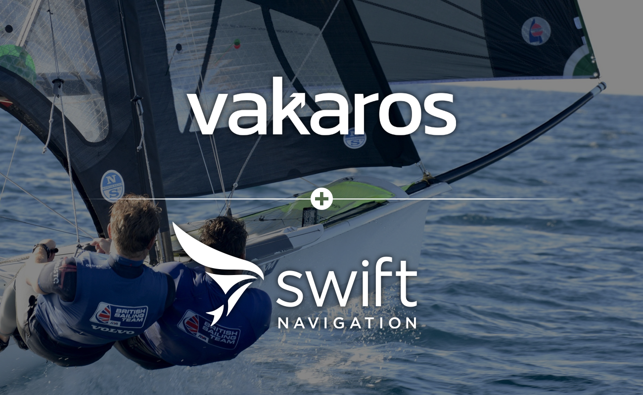
How Vakaros and Swift Navigation are Modernizing Competitive Sailing
Traditional sailboat racing relies on human race officers to judge starts by eye, a method prone to blind spots and unverifiable decisions. To solve this, marine technology leader Vakaros developed RaceSense, a digital race management system that integrates Swift Navigation’s Skylark service to deliver the centimeter-level accuracy required for real-time tracking and automated officiating.
How Edge AI + Precise GPS Work Together
At NJ TransAction 2026, Dareesoft and Swift Navigation show how edge-based computer vision and precise GNSS work together to detect road issues like missing or damaged speed limit signs in real time. By anchoring AI detections to centimeter-level positioning, vehicles can generate accurate, reliable data without expensive mapping infrastructure, enabling a continuously updated view of the road network.
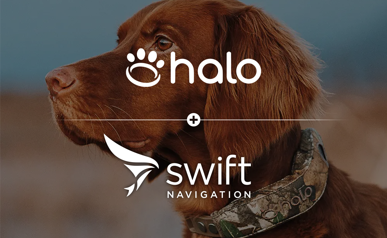
How Halo Collar Uses Skylark to Redefine Pet Safety
A dog isn’t just a pet; they’re a family member. And when it comes to family, ‘close enough’ isn’t enough. Halo Collar partnered with Swift Navigation to deliver the most accurate pet tracking collar that takes virtual fences to the next level. Independent testing shows that Precision+ delivers 3x more accuracy than any other GPS dog fence on the market.
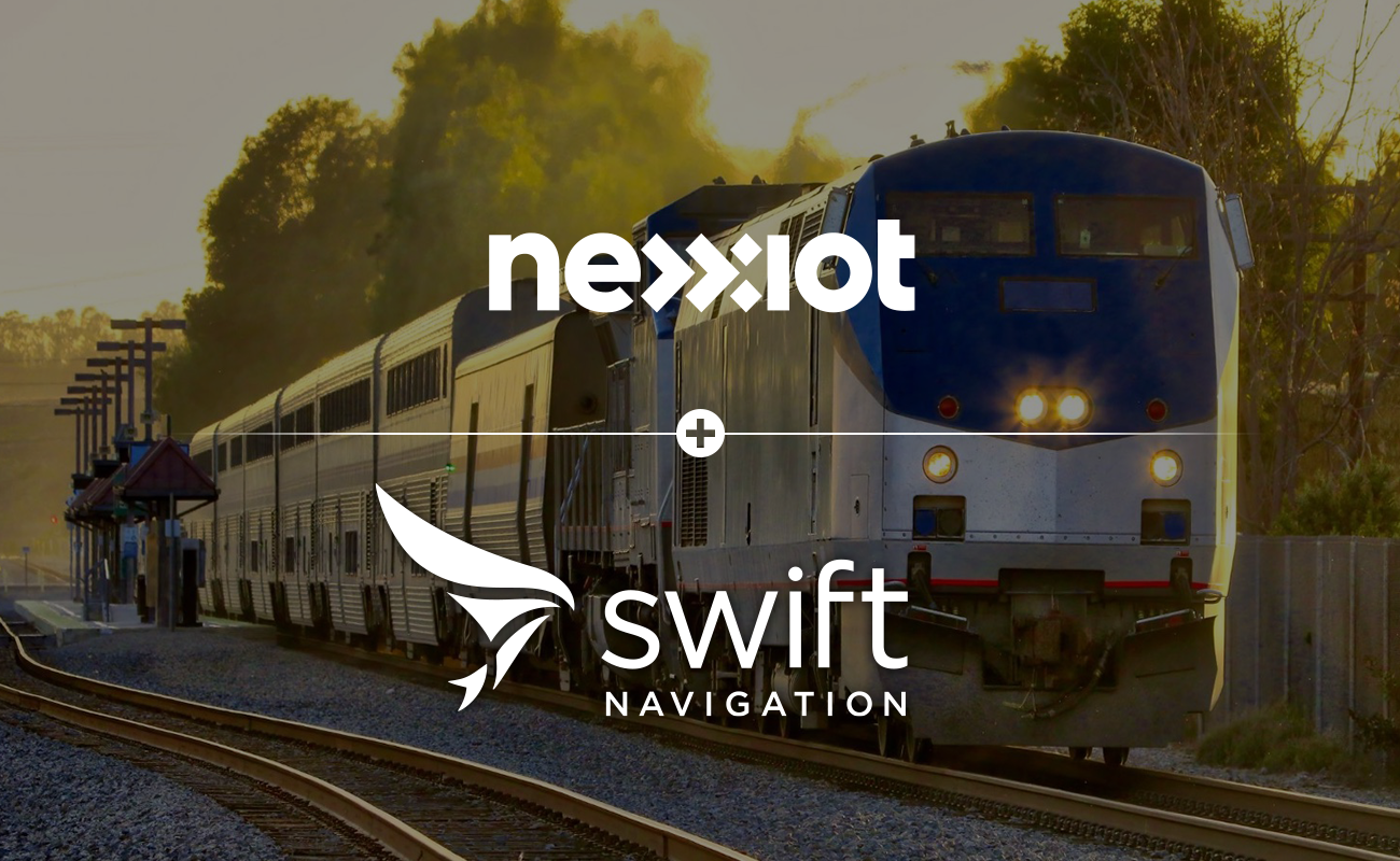
Track-Level Precision: How Nexxiot Uses Skylark Maximize Rail Utilization and Safety
Managing tight, congested railyards requires precision that standard GPS cannot provide. Tracks are situated tightly to maximize usable space, but managing freight at the track level has technical barriers. Nexxiot partnered with Swift Navigation to deliver track-level location data, enabling operators to increase railcar utilization and improve worker safety.
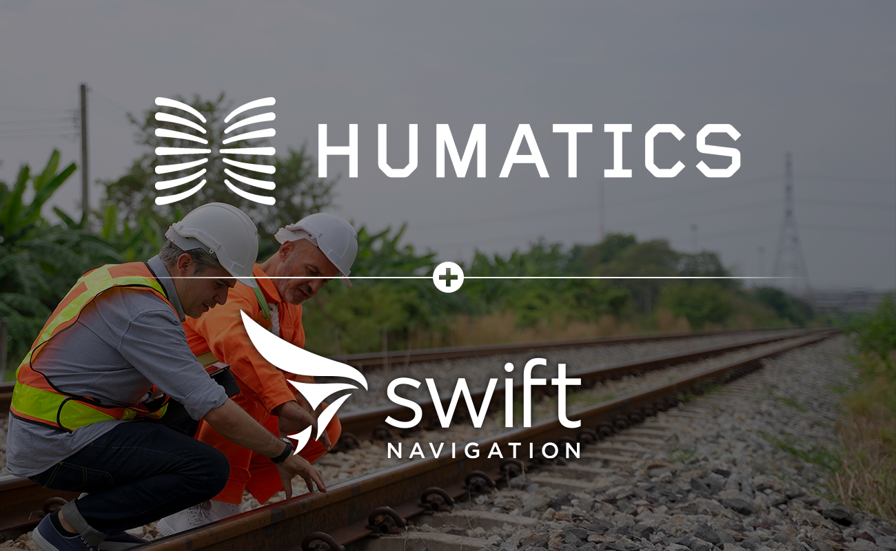
Humatics Leverages Skylark Precise Positioning Service for Daily Track Geometry Insights
Traditional rail inspections often leave agencies blind to track changes for months at a time. This case study explores how Humatics FOCUS uses Swift Navigation’s Skylark Nx RTK to deliver continuous, actionable track geometry data. Learn how they achieved affordable, expansive coverage and centimeter-level accuracy without the complexity of physical base stations.
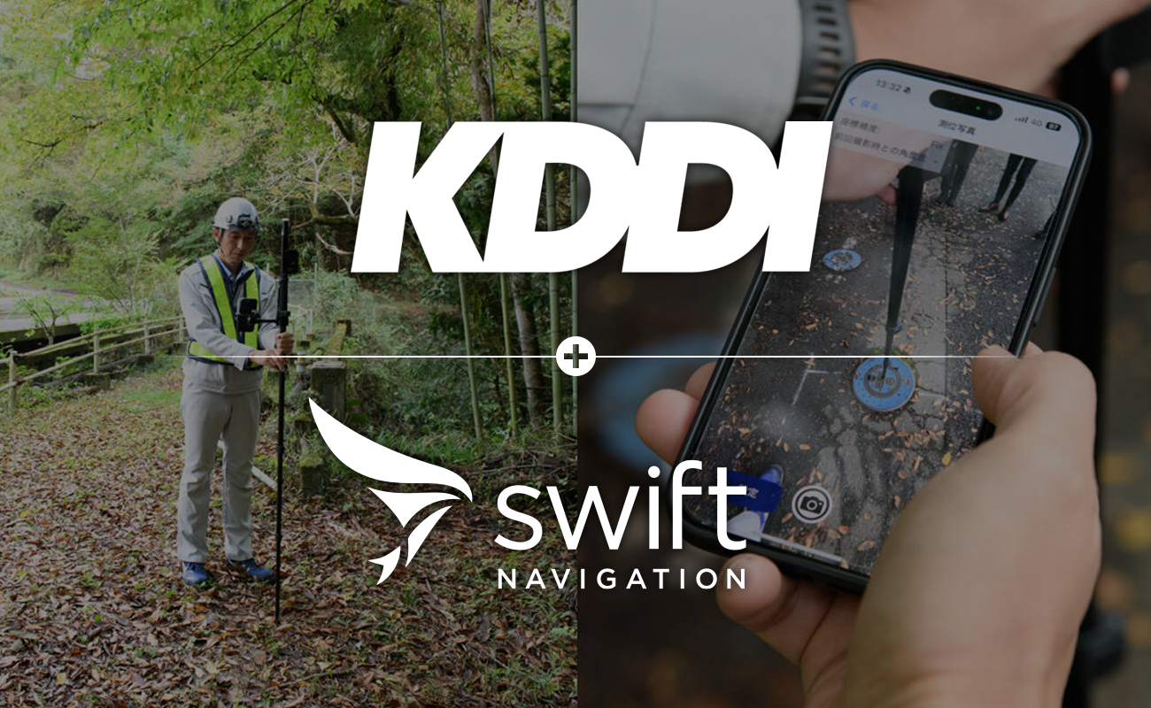
KDDI Modernizes Water Infrastructure Mapping
KDDI is transforming water infrastructure mapping with Skylark Precise Positioning, enabling field crews to capture centimeter-accurate asset data using compact GNSS receivers and smartphones instead of bulky surveying gear. The result: reliable performance even in challenging environments and leak reporting workflows reduced from two hours to just two minutes—bringing high-precision positioning into everyday infrastructure operations.
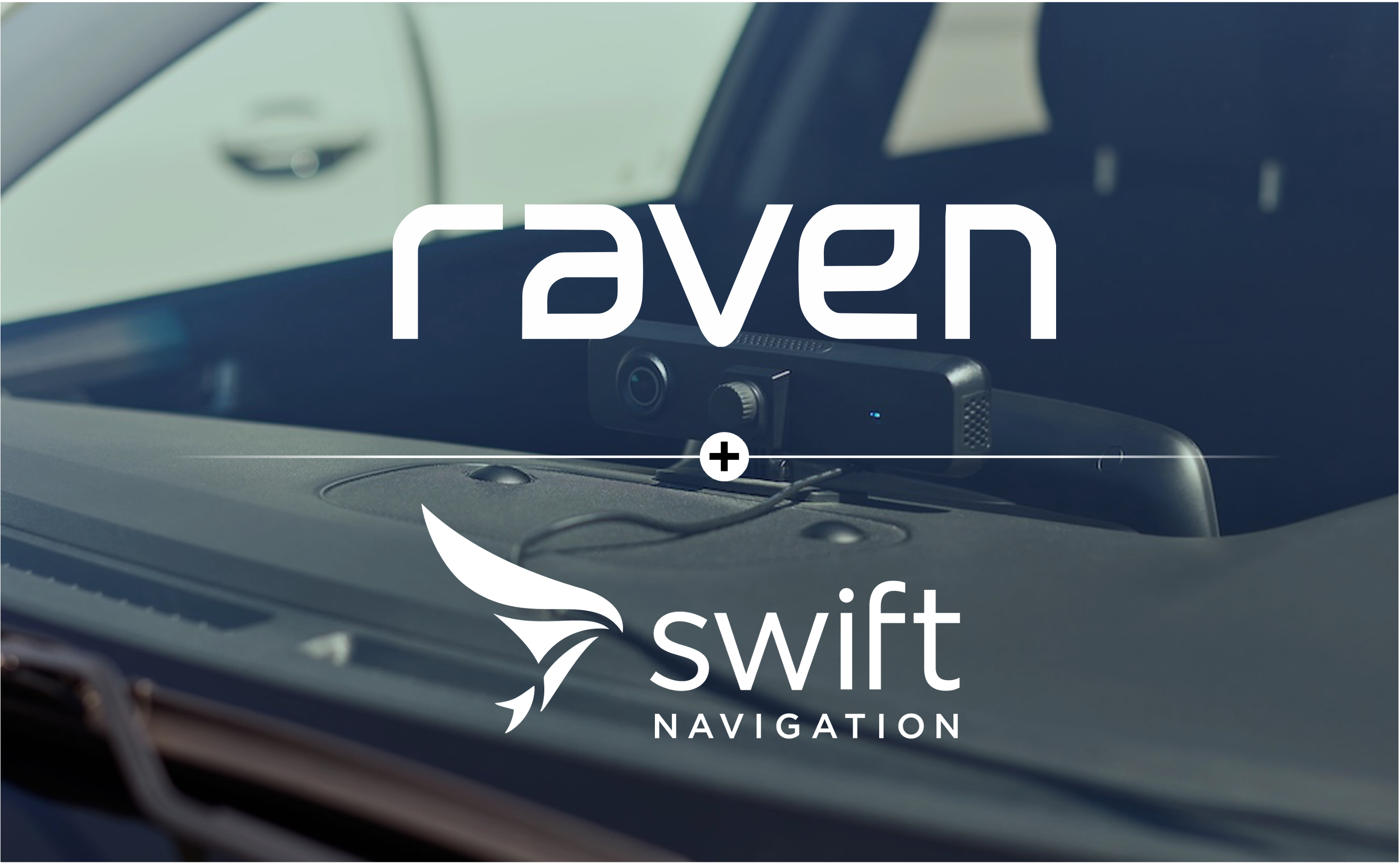
Raven Connected Enables Real-Time, Centimeter-Accurate Infrastructure Management Using Skylark Precise Positioning Service
To manage aging infrastructure, municipalities and fleet operators have traditionally relied on manual inspections and expensive, specialized survey vehicles. These methods are slow, prone to human error, and often lack the lane-level precision needed to distinguish specific assets in dense urban environments. By integrating Swift Navigation’s Skylark™ Precise Positioning Service with Raven Connected’s AI video telematics platform, everyday service vehicles are transformed into high-precision mapping sensors.
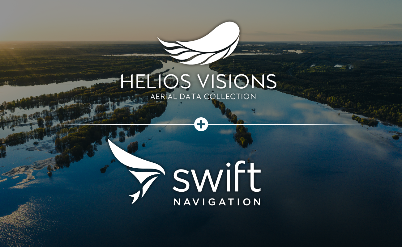
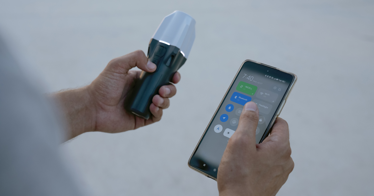
Helios Visions Uses Swift Navigation’s Network RTK Service to Power Drone-Based Environmental Cleanup
When a river cleanup project required precise drone mapping without room for base stations, Chicago-based Helios Visions relied on Swift Navigation’s Skylark™ Precise Positioning Service. Skylark’s cloud-based RTK delivered centimeter accuracy along miles of winding waterways, enabling fast, mobile operations directly from boats—without the setup delays of traditional RTK systems.