Positioning, Navigation, and Timing (PNT) is the collective term for technologies and services that provide three critical functions:
Positioning – determining an exact geographic location on Earth.
Navigation – guiding the movement of people, vehicles, or assets from one location to another.
Timing – synchronizing clocks, networks, and systems with high precision.
Together, PNT capabilities form the backbone of modern digital and physical infrastructure. From enabling safe transportation to powering global financial markets, PNT is essential to the way societies and economies operate.
Why PNT Matters
PNT is not just about knowing “where you are” — it underpins countless everyday services and mission-critical applications:
Transportation & Logistics: Navigation for cars, aircraft, ships, drones, and rail.
Telecommunications: Synchronization of mobile networks, data centers, and internet infrastructure.
Energy Grids: Coordinating distributed power generation and grid management.
Financial Services: Time-stamping global financial transactions.
Emergency Response & Defense: Supporting search-and-rescue, disaster relief, and national security operations.
As more industries adopt automation, robotics, and autonomous vehicles, the role of PNT becomes even more vital.
How PNT is Delivered
Most PNT services rely on Global Navigation Satellite Systems (GNSS):
These satellite constellations broadcast signals that receivers use to calculate position with meter- to centimeter-level accuracy and to extract precise timing references. GNSS timing is so accurate that it synchronizes everything from telecom towers to stock exchanges.
Augmentation and Complementary Technologies
Because satellite signals are weak and vulnerable to disruption, PNT often integrates additional technologies for resilience and higher precision:
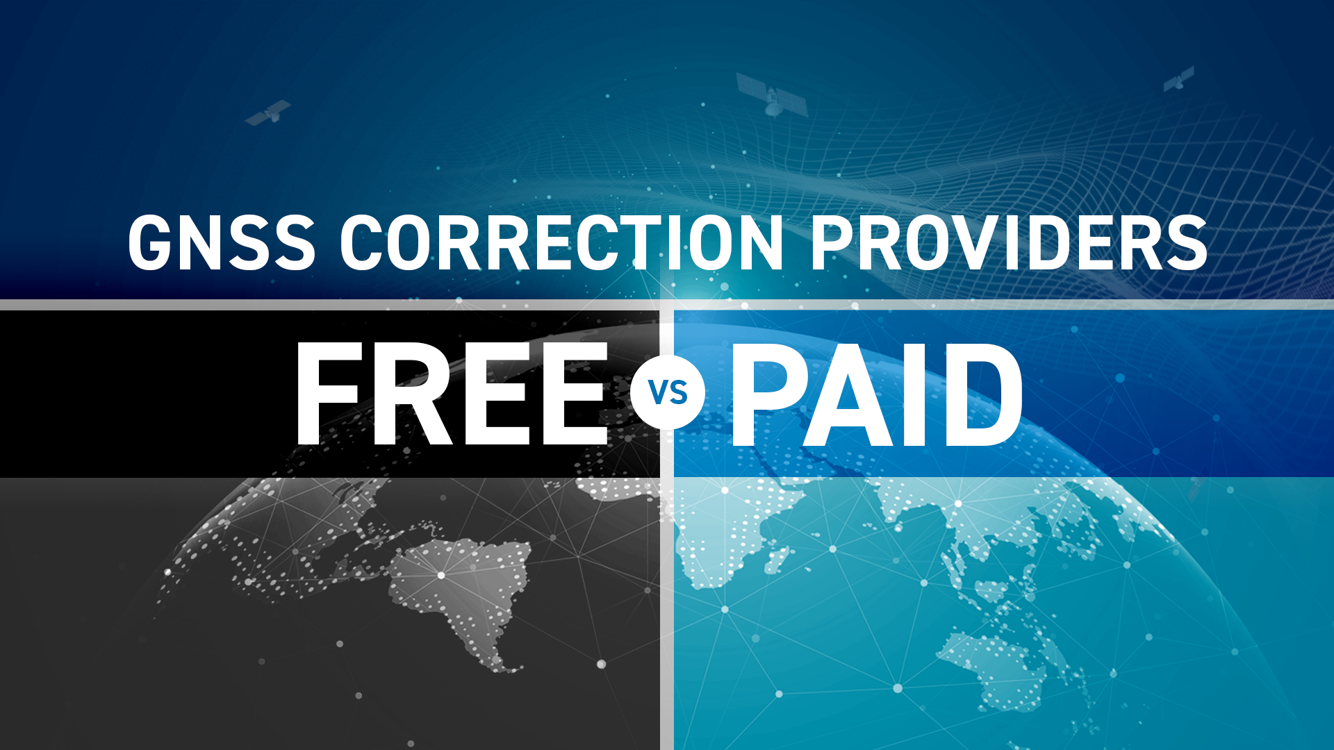
Augmentation systems (e.g., SBAS, differential GNSS, RTK networks)
Inertial navigation systems (INS) for dead reckoning in GNSS-denied environments
Terrestrial radio systems (e.g., eLoran, 5G synchronization signals)
Multi-sensor fusion combining GNSS with cameras, LiDAR, or radar for autonomous systems
This layered approach ensures robust, continuous PNT even in urban canyons, indoors, or under intentional interference.
Challenges and Threats to PNT
As dependence on PNT increases, so do the risks:
Jamming: Deliberate or accidental interference that blocks GNSS signals.
Spoofing: Transmission of fake signals to mislead receivers about location or time.
Space weather: Solar storms that degrade satellite signal accuracy.
System dependency: Heavy reliance on a single GNSS constellation can create single points of failure.
Ensuring resilience requires diversification of sources, redundancy, and monitoring for integrity.
Security, Standards, and Resilience
Governments and industry are prioritizing secure and resilient PNT:
NIST (National Institute of Standards and Technology) and U.S. DHS (Department of Homeland Security) have published frameworks for protecting critical infrastructure from PNT disruptions.
The EU Agency for the Space Programme (EUSPA) promotes secure use of Galileo signals.
Industry groups encourage the adoption of multi-GNSS receivers, authenticated signals, and resilient architectures to safeguard services.
The future of PNT lies in trusted, multi-layered solutions that balance accuracy, reliability, and protection against evolving threats.
Key Takeaway
PNT is an invisible utility that powers the modern world. It enables navigation, coordinates commerce, synchronizes networks, and supports national security. As reliance on precise positioning and timing grows, building resilient PNT solutions—combining GNSS with complementary technologies—remains one of the most critical challenges for governments, industries, and innovators.