








































Top 5 Industries Using Cloud-Based GNSS Corrections
This post explores five key industries that are experiencing substantial benefits from the integration of cloud-based GNSS correction services in 2026.
Grab Uses Skylark to Optimize the Rideshare Experience
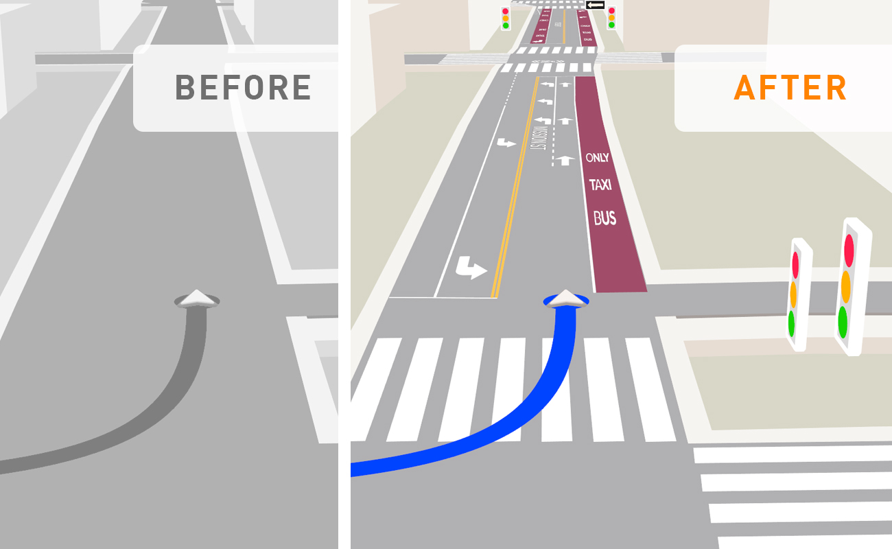
Grab, Southeast Asia’s leading superapp for mobility, deliveries, and digital financial services, partnered with Swift Navigation to improve the accuracy and efficiency of the navigation experience for its drivers.
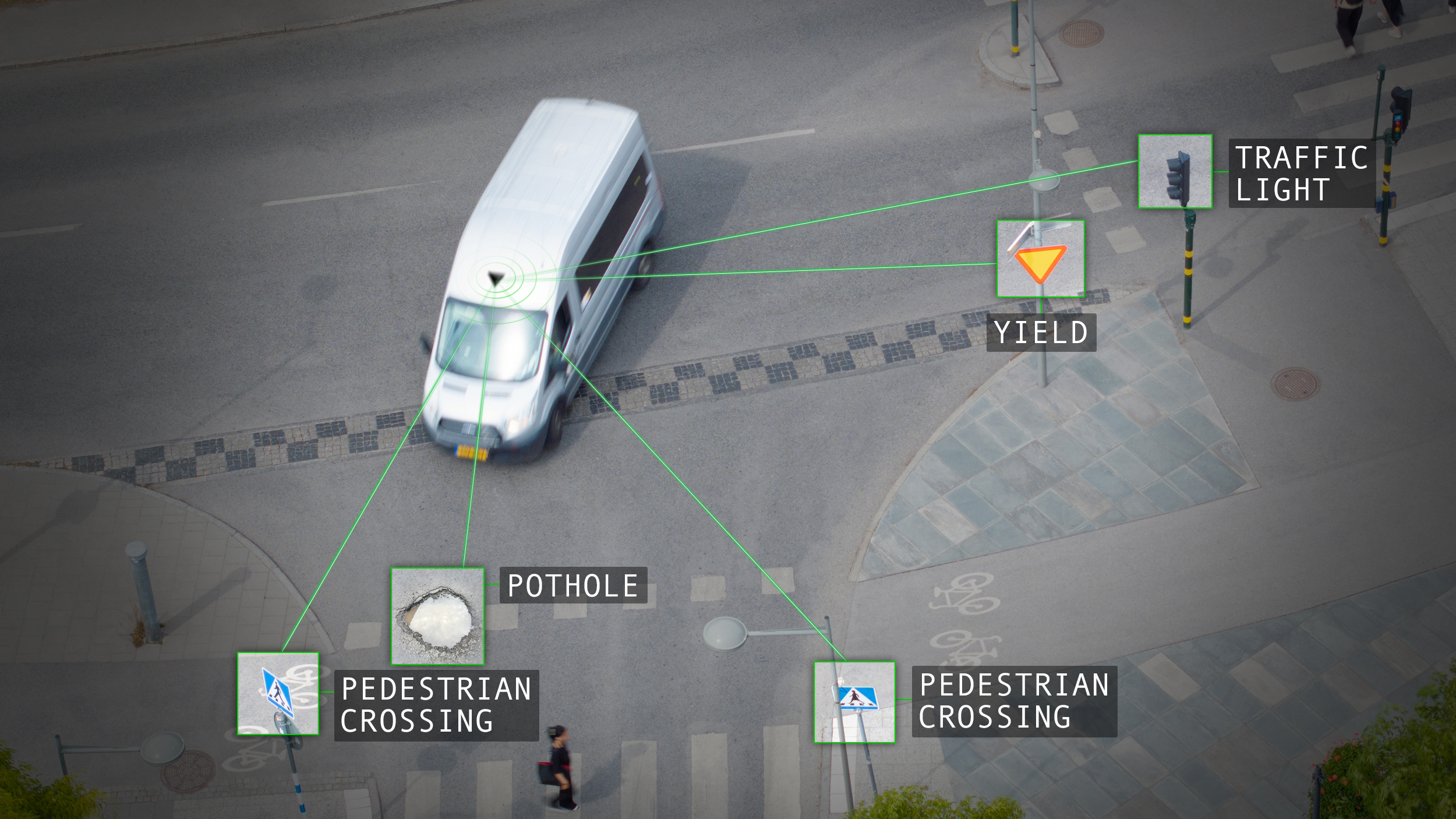
Real-Time Mapping for Physical AI & Smart Cities
Learn how combining edge-first AI processing with precise GNSS positioning enables commercial and municipal fleets to serve as continuous, living map generators. Explore the ways this architecture drastically cuts cellular backhaul costs, reduces cloud processing overhead, and unlocks spatial data monetization opportunities across smart cities and Physical AI.
How to Set Up the Skydio X10 Drone with RTK Corrections
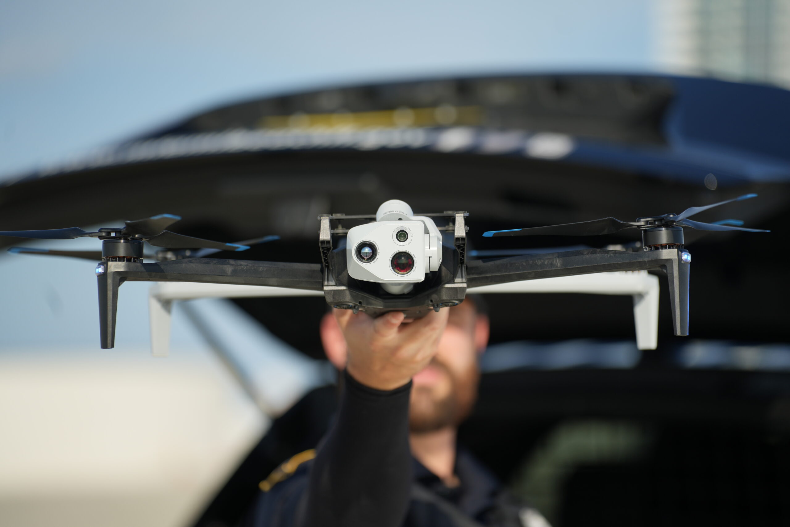
This article walks through setting up Skylark subscriptions in the Skylark User Portal, configuring your Skydio X10 controller, and exploring how Network RTK transforms commercial drone operations.
Free vs. Paid GNSS Correction Services
A technical guide for engineers, surveyors, and product teams evaluating free vs paid GNSS correction infrastructure.
How GNSS Corrections Are Powering Safer, Smarter Micromobility
Micromobility is entering a new phase—moving beyond early adoption toward sustainable, scalable growth. As the market matures, operators are under increasing pressure to meet safety, compliance, and efficiency standards. High-precision GNSS correction services are emerging as a critical tool to meet these demands. To explore this shift, we spoke with Swift Navigation’s Jochen Bruns, who shares how cloud-based solutions like Skylark™ are helping fleet operators build smarter, more reliable micromobility systems.
Inside Skylark's Atmospheric Model
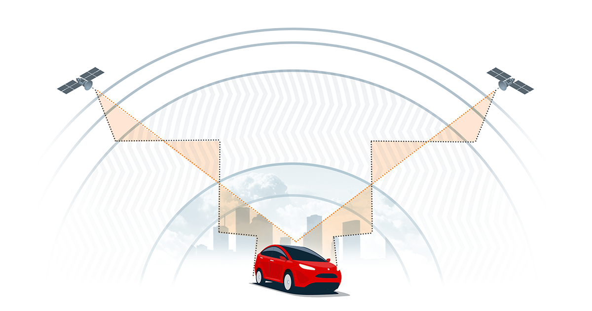
Reliable RTK positioning needs robust atmospheric modeling, not just dense networks. In this article, we look at how Skylark’s physics-based approach outperforms standard interpolation to deliver consistent, high-integrity corrections even during atmospheric disturbances. This ensures reliability for critical applications where traditional methods often fail.
How Origin Forensics Maps Crash Sites with Skylark Nx RTK
By using Skylark Nx RTK and Emlid rovers, forensic consulting firm Origin Forensics has enhanced its crash reconstruction capabilities, enabling targeted data collection and survey-grade accuracy for high-stakes legal proceedings. This efficient, mobile solution allows the team to rapidly capture precise evidence even in challenging environments, ensuring robust data redundancy and superior field performance.
Beyond Vision: Why High-Integrity Precise Positioning Won Swift Navigation the AutoTech Award
We are thrilled to share that Swift Navigation was recently honored at the prestigious AutoTech Awards. This recognition validates a fundamental shift occurring within automotive engineering: the realization that vision-based perception systems alone cannot carry the full weight of future safety-critical automation.
To build true consumer trust and unlock widespread Level 2+ and Level 3 autonomy, vehicles need an unshakeable digital fail-safe. Here is a deep dive into the technology, philosophy, and real-world results that caught the judges’ attention.
Essential Aero Uses Skylark to Enable Autonomous Airport Operations with Centimeter-Level Precision
Essential Aero is transforming airport ground operations by deploying autonomous robots for foreign object debris (FOD) collection, powered by Swift Navigation’s Skylark Nx RTK. This partnership provides the centimeter-level precision and geofencing required to enhance airfield safety and significantly reduce the $22 billion in annual costs associated with FOD damage.